 |
| Death Valley |
When we decide to learn a foreign language we must dedicate our efforts not only to the language itself, but also to the cultural and historical aspects from the countries it stands for. Speaking of it, there you have some curious facts on US Geography.
The United States is the fourth largest country in the world, after Russia, Canada, and China (we, Brazilian, are the fifth one). It consists of 48 contiguous states, located in the central portion of North America, plus the states of Alaska and Hawaii. There are also some political subdivisions like the District of Columbia, the Commonwealth of Puerto Rico, the Commonwealth of the Northern Mariana Islands, Guam, Virgins Islands, and American Samoa.
 |
| Crater Lake |
 |
| Mount Mckinley |
Some interesting data:
Area: 9,628,382 square kilometers.
Coastline: 19,929 kilometers, including Alaska and Hawaii.
Inland Waters: 41,009 kilometers of navigable inland channels, excluding the Great Lakes.
Longest River: Mississippi-Missouri - 5,936 kilometers.
 |
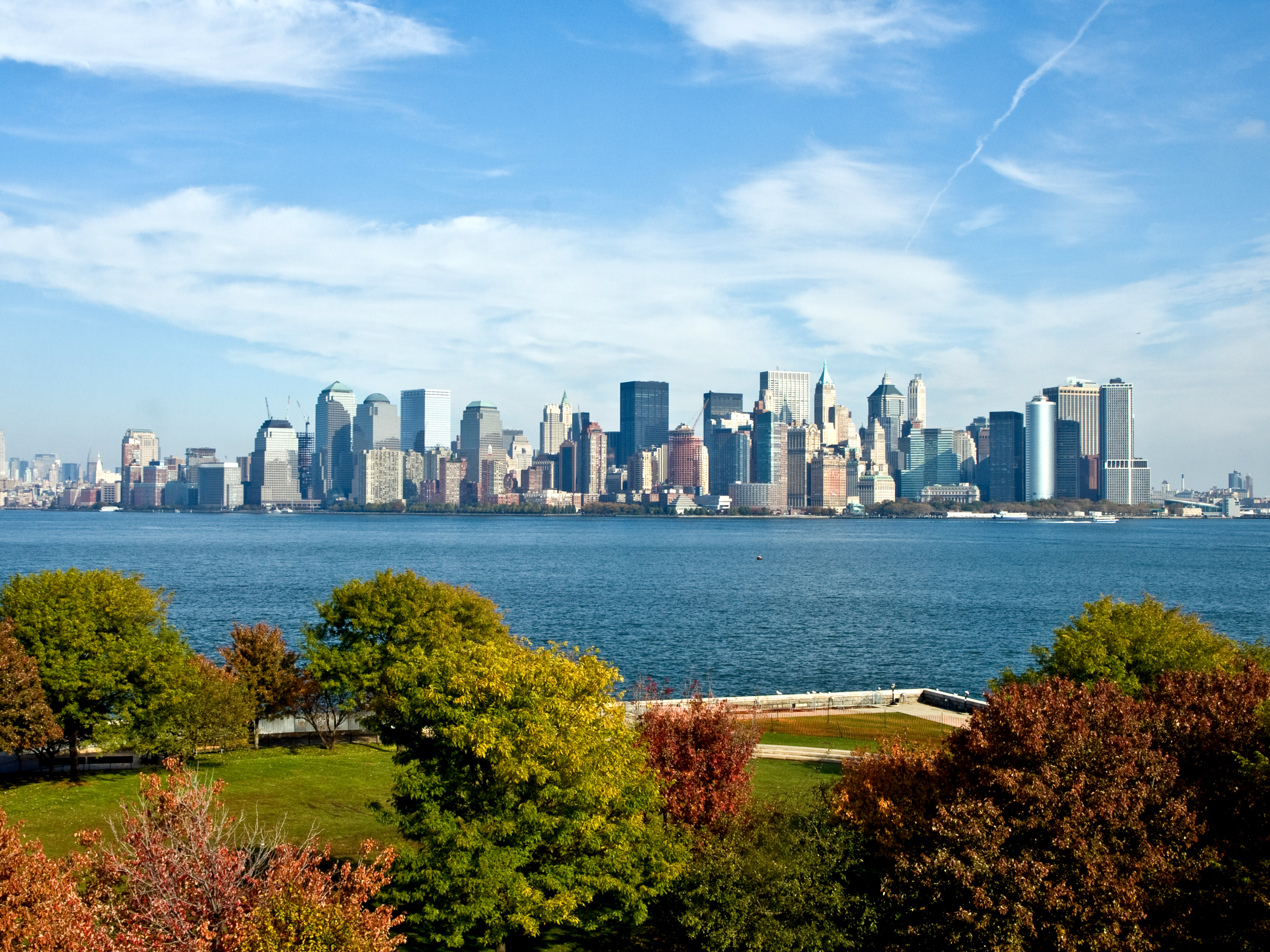
| New York |
Deepest Lake: Crater Lake in Oregon - 580 meters.
Highest Point: Mount McKinley in Alaska - 6,198 meters above sea level.
Lowest Point: Death Valley in California - 86 meters below sea level.
Largest State: Alaska.
Smallest State: Rhode Island.
Smallest State: Rhode Island.
Most Populous State: California. (37,593,222 / 2010)
Least Populous State: Wyoming. (563,626 / 2010)
Most Populous City: New York (New York).
Total Population: 312,913,872 (2010)
How about you, which part of the US would you like to visit?
How about you, which part of the US would you like to visit?


2 comentários
Write comentáriosLargest state: Rhode Island???
ReplyDon't you mean the smallest? xD
Sorry, Pedro, our mistake... xD correction done =p thx
Reply